Sawara Historic District
佐原の町並み
A merchant quarter on the Ono River in Chiba that grew rich on river trade, and the first district in the Kanto region put under preservation.
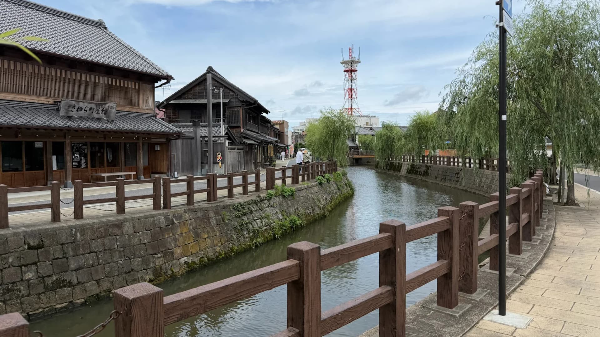
Sawara lies on the Ono River where it joins the Tone, in Katori in Chiba Prefecture. The merchant houses along the river and the Katori road were built on the trade that the Tone carried, and about seven hectares of the quarter were selected as an Important Preservation District in December 1996, the first in the Kanto region.
Sawara stood at the point where goods coming down the Tone were transferred for the run to Edo, and the merchants who handled that traffic built the houses that still line the water. Some are Japanese town houses with tiled roofs and plastered storehouses behind them; others, put up later, are Western in style, so that the street shows the change from one period to the next.
The quarter is often called the little Edo of the Hokuso district. What distinguishes it from other preserved streets is that many of the businesses in it are still run by the families who have always run them, and the houses are lived in.
Ino Tadataka, whose survey of the coast of Japan on foot produced the first accurate map of the country, kept a brewing and merchant business at Sawara until he took up surveying at the age of fifty. His house stands by the river and is open, and a museum across the bridge holds his instruments, his notebooks and his maps, which are National Treasures.
The Sawara Grand Festival has been held for about three hundred years, in summer at one shrine and in autumn at another. Tall floats carrying figures are pulled through the streets to festival music. Several of the floats are kept and shown at a hall in the town when the festival is not running.
You might also like
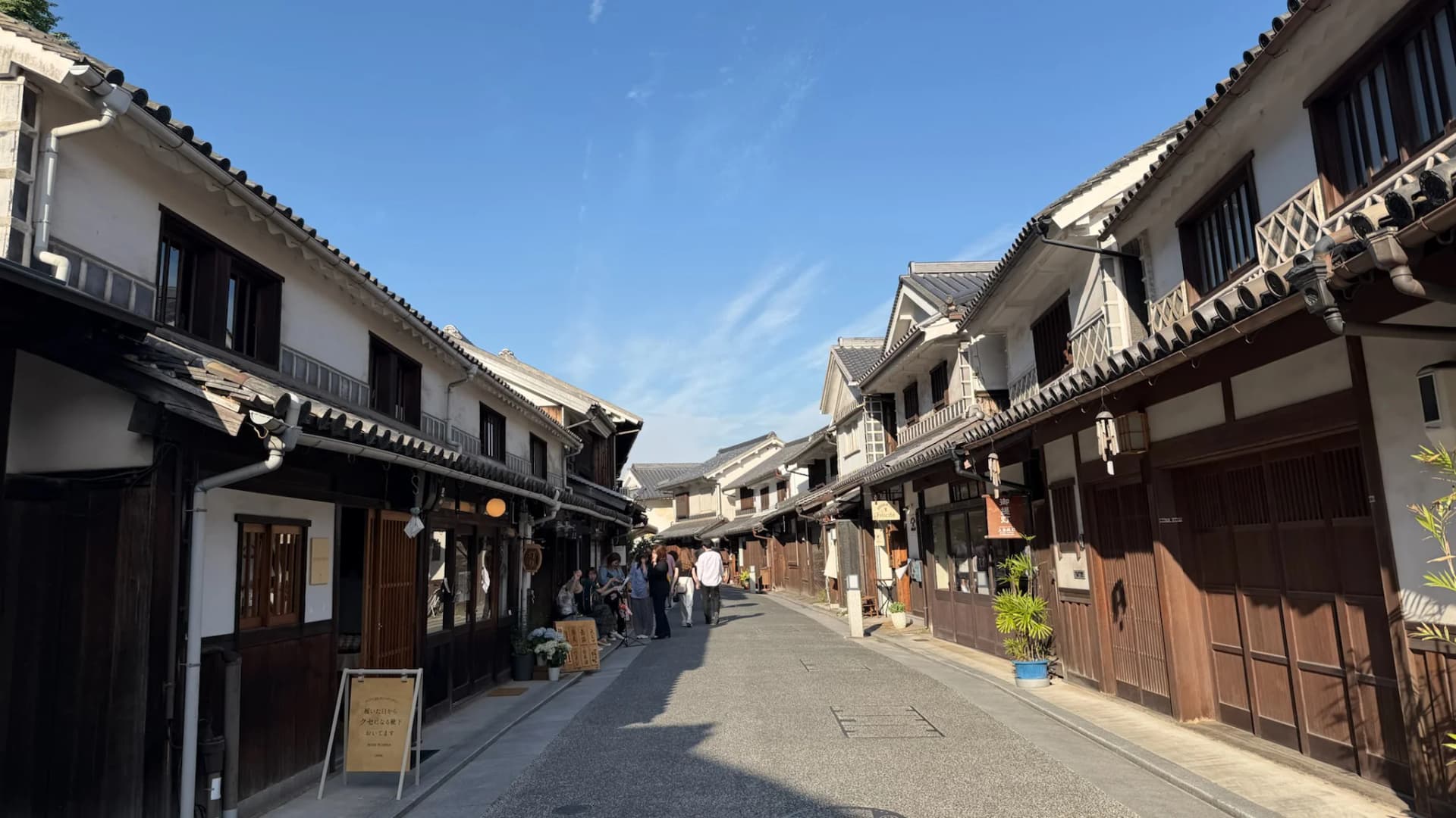
Kurashiki Bikan Historical Quarter
A quarter of white-walled storehouses along a canal in Okayama, built on the rice trade and preserved since the 1960s.
Kurashiki · Okayama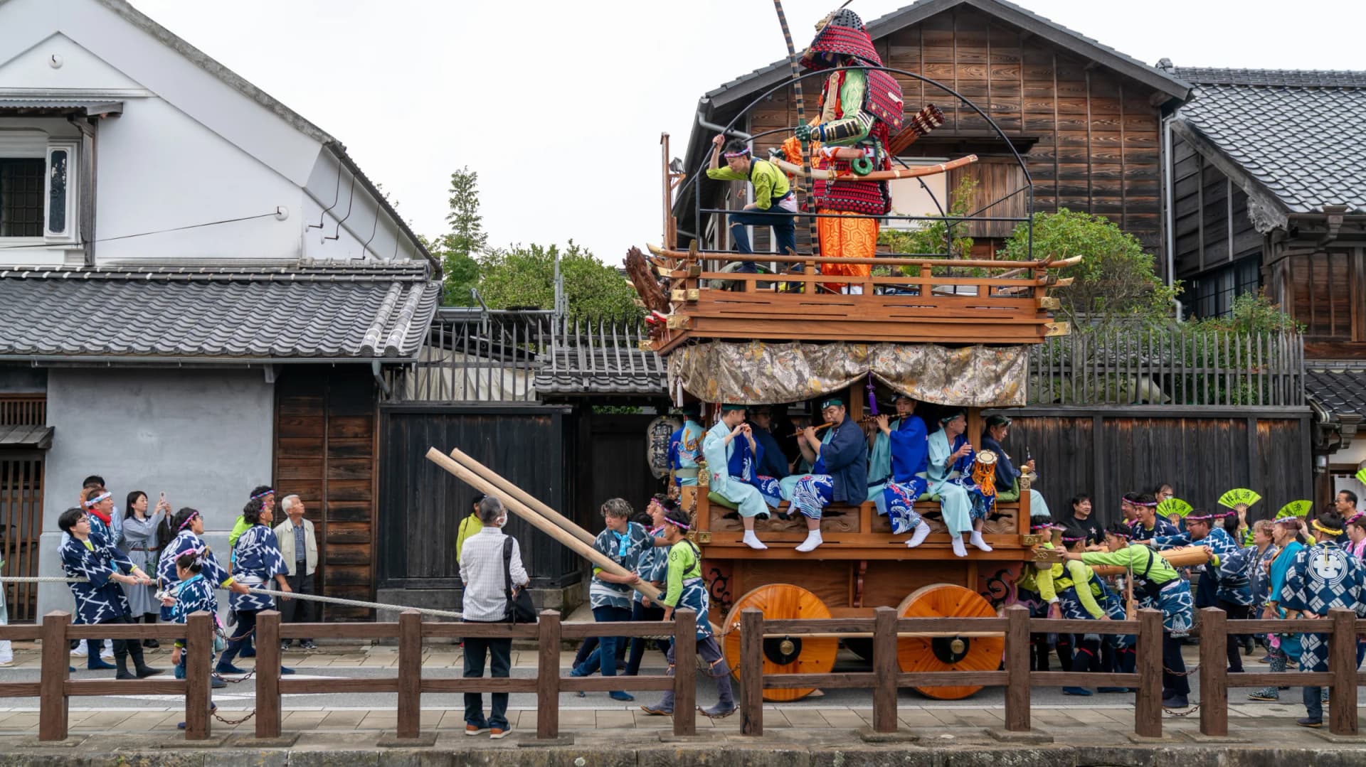
Sawara Grand Festival
Every July in Sawara, ten seven-metre floats crowned with giant dolls are spun through the streets of a preserved Edo-period merchant town, grazing the eaves.
10–12 Jul 2027Katori · Chiba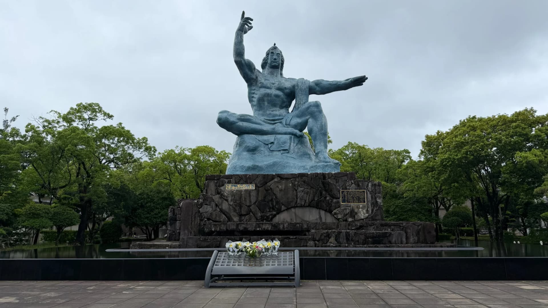
Nagasaki Peace Park
A memorial park near the Nagasaki hypocentre, built around the great bronze Peace Statue and peace monuments donated by nations around the world.
Nagasaki
Nara Prison Museum
A Meiji-era red-brick prison (1908) and one of the Five Great Prisons with its original layout intact, now a museum operated by Hoshino Resorts.
Nara
Tokyo Game Show
Tokyo Game Show 2026 goes five days for its 30th anniversary. Full guide to dates, ticket prices, confirmed games, cosplay rules and how to survive Makuhari.
17–20 Sep 2027Chiba
Japan Mobility Show
A transformative mobility exhibition brings together automotive innovation, motorcycles, motorsports, and future transportation solutions.
13–16 Oct 2026Chiba